Brevard ZIP Code Coverage
The Space Coast is long and narrow, so a Brevard County ZIP code directory is best read by region. Titusville and Mims anchor the north. Cocoa, Port St. John, Cape Canaveral, and Cocoa Beach split mainland and beachside delivery. Merritt Island has several postal zones along the island. Melbourne-area names reach the mainland, Eau Gallie, Viera and Suntree, while Palm Bay and the southern beach communities use their own groups. The table is a research aid, not a legal boundary map.
| ZIP Code | Areas Covered | Post Office | Notes |
|---|---|---|---|
| 32754, 32775 | Mims and Scottsmoor | North Brevard postal areas | Primarily unincorporated; verify parcel county at the edge |
| 32780, 32781, 32783, 32796 | Titusville | Titusville postal name | 32781 and 32783 include PO-box or unique uses |
| 32920, 32922, 32923, 32924, 32926, 32927 | Cape Canaveral, Cocoa, Port St. John | Cape and Cocoa postal areas | 32923 and 32924 include PO-box or organizational uses |
| 32931, 32932 | Cocoa Beach | Cocoa Beach postal area | 32932 is primarily PO-box use |
| 32952, 32953, 32954 | Merritt Island | Island delivery areas | South, central and north island divisions |
| 32955, 32956 | Rockledge | Rockledge postal area | 32956 includes PO-box use |
| 32901-32904, 32912, 32919, 32934-32936, 32940-32941 | Melbourne, West Melbourne, Eau Gallie, beachside, Viera and Suntree | Melbourne-area postal names | Several codes have PO-box or unique uses |
| 32905, 32907-32911 | Palm Bay and nearby south Brevard | Palm Bay postal areas | 32910 and 32911 have PO-box or unique uses |
| 32937, 32949-32951, 32976 | Satellite Beach, Indian Harbour Beach, Grant-Valkaria, Malabar, Melbourne Beach, Barefoot Bay and Micco | Beachside and south-county areas | 32976 uses a Sebastian postal name in southern Brevard |
| 32925 | Patrick Space Force Base | Federal installation | Verify delivery eligibility for the exact address |
Also verify 32756 Christmas at Brevard's edge and any address near a county line. The research did not find an official county list that proves every active unique or PO-box-only code. USPS must settle the delivery type for a specific address. That restraint matters because organizational and PO-box codes do not describe a normal residential area.
North Brevard ZIP Code Directory
Mims, Scottsmoor, and Titusville form the northern postal pattern. Mims 32754 and Scottsmoor 32775 cover small mainland communities, much of it outside an incorporated city. Titusville uses several codes, including codes with PO-box or unique functions. A Titusville mailing label can therefore narrow the region without proving that the parcel sits inside Titusville's municipal boundary.
For land and permit work, open the parcel in the Property Appraiser map. The map holds the municipality or unincorporated status separately from the mailing city. This is vital at the north edge, where the nearby postal place may not describe the government with custody of a file.
Central Brevard Postal Identities
Cocoa, Port St. John, Cape Canaveral, Cocoa Beach, Rockledge, and Merritt Island make the central Brevard County ZIP code directory especially layered. Port St. John is represented by 32927. Merritt Island divides into 32952, 32953, and 32954. Cape Canaveral 32920 and Cocoa Beach 32931 sit on the coast, while Cocoa and Rockledge codes serve mainland areas.
Postal identity is not city government. Merritt Island and Port St. John are well-known community names, but records may be held by Brevard County. Cape Canaveral, Cocoa, Cocoa Beach, and Rockledge are separate municipalities. Use the ZIP only to choose a region, then use GIS to find the parcel and the actual jurisdiction.
Melbourne ZIP Codes Cross Lines
The Melbourne postal name covers more than the City of Melbourne. It appears across Melbourne, West Melbourne, Eau Gallie, Indialantic-area beachside places, Viera, Suntree, and county territory. Indian Harbour Beach, Satellite Beach, Indialantic, and Melbourne Beach remain separate municipalities even when a broad directory groups them under Melbourne.
History adds another search wrinkle. Eau Gallie and Melbourne consolidated in 1969. An older address, directory entry, or newspaper item may use Eau Gallie even though a modern postal tool uses Melbourne. Search both community names for a historical person, but let the parcel and legal description bridge the same land across name changes.
Find Brevard Residents by ZIP
Begin with an exact postal check, then move to an official roll that truly supports the needed field. The USPS ZIP Code Lookup is authoritative for matching a street address, city, and delivery code. It does not identify a resident or set a municipal boundary. The image shows the official lookup surface used to verify the postal part of the search.
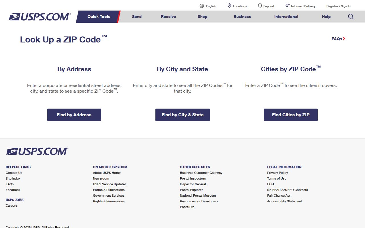
- Enter the full address in USPS ZIP Code Lookup. Note the city name, five-digit code, and ZIP+4 if returned.
- Open the BCPAO parcel map and locate the same address. Read the parcel's situs city and ZIP separately from the owner's mailing address.
- Use an authorized county roll or data request with an actual ZIP field. Do not assume a portal can browse a ZIP merely because its records display one.
- Once the results narrow to a road, continue with the Brevard County street directory workflow and inspect each parcel rather than treating the whole ZIP as one neighborhood.
The county GIS data model keeps the parcel's situs ZIP in a field separate from the owner's mailing ZIP5 and ZIP4. That distinction prevents an out-of-area tax mailing route from being mistaken for the parcel's location.
Brevard ZIP Search Fields
ZIP-capable research comes from different tools. USPS verifies delivery. The BCPAO geocoder accepts an optional ZIP as part of an address search, while its parcel data stores physical and mailing fields separately. Brevard voter data can be sorted by ZIP after a lawful data request, but the public registration-status form cannot be presented as ZIP browsing.
| Field or control | Source | What it does | Limit |
|---|---|---|---|
| Street address, city, state | USPS lookup | Returns the matched postal code | Does not establish jurisdiction |
| Optional ZIP | BCPAO geocoder | Narrows an address match | Use the parcel card to confirm |
| ZIP_CODE | County parcel GIS | Stores the parcel's situs ZIP | Separate from owner mailing ZIP |
| Sort by ZIP | Brevard voter-data request | Orders a lawful extract | Protected rows remain suppressed |
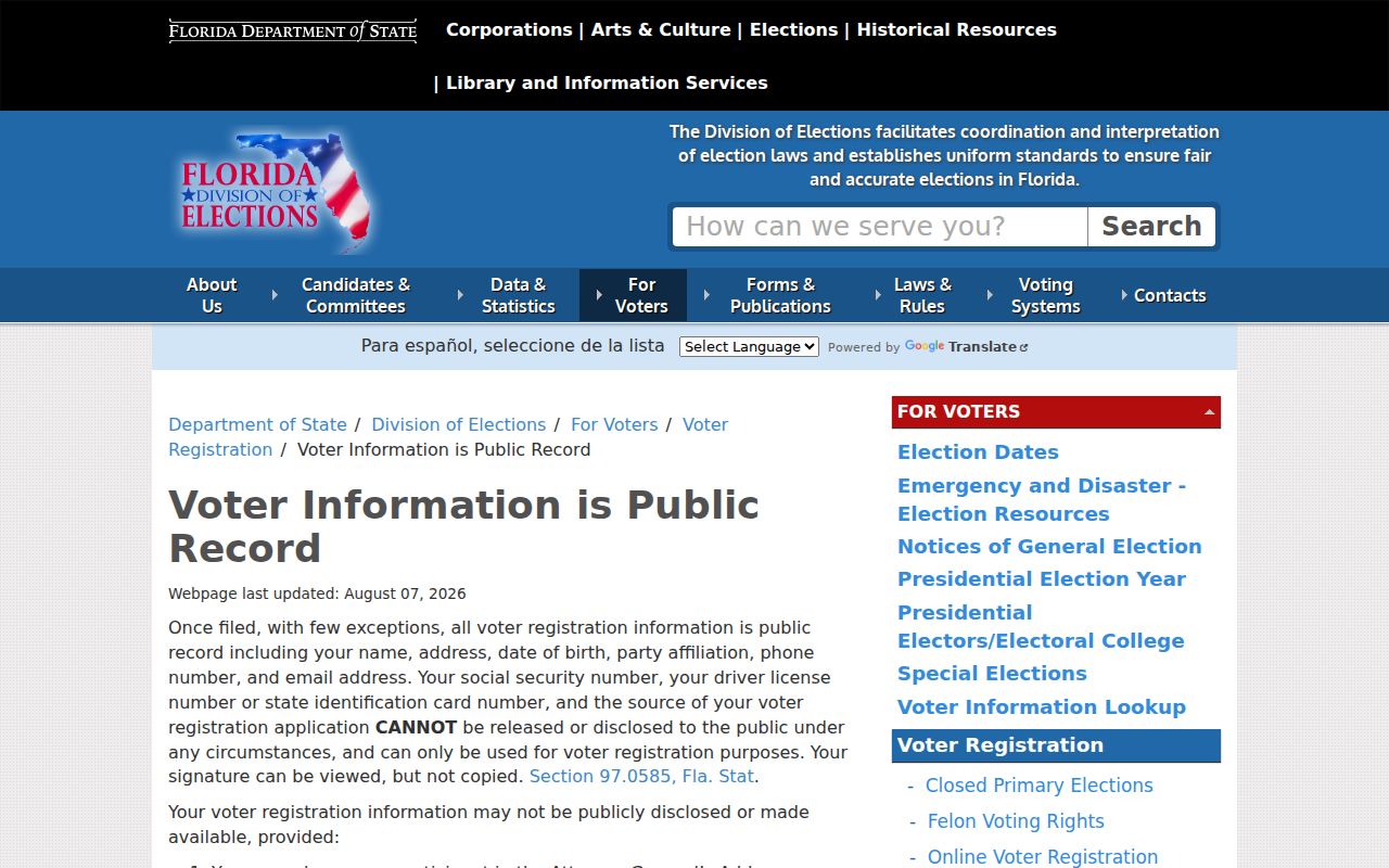
Florida's public voter information includes residence and district data subject to exemptions. The official state's public-field explanation is shown below. It helps define what may exist in an extract, not who may be inferred from a missing row.
Review the Florida voter-information rules before using ZIP-sorted data.
South Brevard ZIP Code Directory
Palm Bay uses 32905, 32907, 32908, and 32909 for broad residential areas, while 32910 and 32911 include special postal uses that require address-level verification. Rapid growth in Palm Bay and Melbourne means newer plats and service boundaries may not match a postal place label. Grant-Valkaria, Malabar, Melbourne Beach, Barefoot Bay, Micco, and San Sebastian add rural, mainland, and barrier-island patterns farther south.
ZIP 32976 illustrates the point: the Sebastian postal name reaches southern Brevard communities such as Barefoot Bay and Micco. A records request still goes to the office with legal jurisdiction over the parcel or event. USPS is the postal authority; BCPAO and county GIS resolve land location.
South-county geography also changes the meaning of “nearby.” Palm Bay's inland growth areas, Malabar and Grant-Valkaria's rural parcels, and Melbourne Beach's barrier-island addresses can share a broad postal association while falling under distinct land, permit, and public-safety systems. Check the account number and legal description before joining two records solely because their mailing cities match.
Brevard ZIP Codes Versus Cities
ZIP Codes route mail. They do not define Brevard County's city limits, police areas, permit jurisdiction, school zones, utilities, or voting districts. A Cocoa mailing address can sit outside Cocoa. A Melbourne postal name can refer to another city or county territory. County Planning serves unincorporated parcels even when the mail uses a nearby city's name. For every official request, identify the parcel or event jurisdiction before choosing an office.
- ZIP and ZIP+4
- A ZIP is the five-digit delivery area. ZIP+4 adds a smaller delivery segment, such as a block, building, or box group.
- PO-box ZIP
- A code used mainly or only for post-office boxes, not a map of homes.
- Unique ZIP
- A code assigned to one large organization or installation rather than a normal neighborhood.
- Carrier route
- A mail-delivery path within a ZIP. It is an operational route, not a city boundary.
Two checks. Use USPS for the delivery code and BCPAO GIS for Brevard County jurisdiction; neither answer should substitute for the other.
The Florida Public Records Law governs access to many local records, but its reach does not change with a postal label.