
Walk a Brevard County Street
A sound Brevard County street directory search separates land ownership from residence. The Property Appraiser identifies the owner of record, tax-mailing address, physical site address, exemptions, and past sales. Those facts may support owner occupancy, yet they cannot prove who else lives there. Voter data and old reverse directories add resident clues, while deeds show transfers rather than a full household.
Begin with one exact address. Confirm the parcel before expanding to the block. Units, condos, mobile-home parks, vacant tracts, and corner parcels can break a text search. The map makes those shapes clear and lets the search move by street without assuming each house number is a separate parcel.
- Normalize the mailing line with USPS, then find the site address in BCPAO Property Search.
- Open BCPAO Map, zoom to parcel lines, and click the target and nearby lots.
- Keep the seven-digit account number and legal description from each parcel card.
- Carry owner names, instrument numbers, or legal descriptions into the Clerk's Acclaim index.
- Check the proper permit office, lawful voter data, and library reverse volumes for dated evidence.
This flow turns an address into several dated records. It also shows where an inference begins. A taxpayer name is not a list of occupants, and a voter entry is not a live census.
Brevard Street Directory Search Fields
The Brevard County Property Appraiser Real Property Search is the strongest address-first tool. It accepts a street number or number range plus direction, name, type, suffix, unit, city, and ZIP. It can also pivot from an account, subdivision, block, lot, plat book, or sale data. Partial owner terms work, while an account number must be seven digits.
| BCPAO field | Input | Street use | Limit |
|---|---|---|---|
| Site address | Number or range, direction, name, type, unit | Find parcels by address | Both range ends required |
| Owner name | Partial words | Check one owner's parcels | Owner is not every occupant |
| Account number | Seven digits | Open an exact parcel | Copy it exactly |
| Legal and plat | Subdivision, block, lot, book/page | Bridge name changes | Use parcel details first |
| ZIP and tax district | Advanced filters | Slice assigned parcels | Postal and city limits differ |
Results may be exported as CSV or XLSX after columns are chosen. That helps with a long street, but every row still needs review. An inactive, split, combined, or confidential parcel may not appear as expected.
The result card adds more than an owner line. It can show the parcel or account identifier, legal description, municipality and taxing districts, land use, acreage, values, exemptions, building data, year built, and a sales trail. Photos, sketches, and transfer references may also appear. Copy the instrument or book-and-page reference when it is present because that is the clean handoff to the Clerk. A homestead exemption can support an owner-occupancy inference, but it is not a list of family members. When the mailing and situs lines differ, preserve both instead of replacing one with the other. The distinction may explain why an owner name is tied to a second Brevard County address.
Map Brevard County By Street
The BCPAO Interactive Map is better than a text result when a street bends, crosses a city line, or includes vacant land. Verified controls include Account plus Go, Quick Search, zoom and pan, parcel popups, and links to details. Layers include parcels, subdivisions, blocks, condos, roads, water, township-range sections, and aerial views.
Zoom until parcel outlines are clear. Click each polygon, then open its card. The public viewer did not expose a verified radius or buffer button, so a Brevard street directory should not promise one. Visible adjacency works: move lot by lot, and decide whether parcels across the road count before collecting them.
Note: The map shows land geometry and ownership links, not a current list of people inside each building.
Brevard Addresses Need Two Checks
A BCPAO card keeps the owner mailing address apart from the situs, or physical, address. The mailing line is where the tax notice goes. The situs line identifies the land. Matching addresses plus a homestead exemption may be consistent with owner occupancy, but neither fact supplies other household names.
- Parcel
- A mapped unit of land with its own county account and legal identity.
- Situs address
- The assigned physical address, distinct from tax-mail delivery.
- Plat
- A recorded map of a subdivision, lots, blocks, and roads.
- Criss-cross directory
- A printed directory arranged by address or phone number instead of name.
The county warns that E911 site addresses may not match the postal community. Some vacant or corner parcels lack one. Keep the legal description and account number beside address notes because those identifiers survive many naming changes.
Brevard County Records By Address
No one roll is a complete street directory. Brevard County divides the work among the Property Appraiser, Clerk, Supervisor of Elections, local development offices, and library shelves. Each source answers a different question and has a different access route.
| Record Set | Keeper | What It Shows | Access |
|---|---|---|---|
| Property roll | BCPAO | Owner, mailing and situs, sales, improvements | Free portal and office request |
| Parcel GIS | BCPAO | Lots, geometry, jurisdictions, linked cards | Free map and public GIS data |
| Deeds and liens | Brevard Clerk | Indexed parties, legal identity, transfers | Acclaim from 1981; branch earlier |
| Voter data | Supervisor of Elections | Lawfully released residence fields | Request; protected rows withheld |
| Permit and code | County or city | Owner, applicant, work, inspections, dates | Portal or records request |
The account number ties GIS, the roll, and many permit files together. A legal description connects the parcel to deeds. Names found there can be checked in dated voter or historical sources without treating one source as final household proof.
Brevard Land Records In Acclaim
The Brevard Clerk Official Records include deeds, mortgages, liens, judgments, plats, surveys, condominium declarations, and declarations of domicile. Acclaim index data and publishable images begin January 1, 1981. Search by owner, instrument, book/page, or legal description instead of expecting each deed under a modern street line.
For names, the Clerk recommends LAST, FIRST, fewer terms, spelling variants, and a narrow date span. A grantor transfers an interest; a grantee receives it. Results can supply parties, document type, dates, book/page, instrument number, legal description, and an image when law permits.
Work backward in Acclaim, then take the last known book/page or party to branch index books, microfilm, or the Research and Copy Request Center. Branch records, not web images, are the official public record.
Brevard Street Records On Screen
The Clerk's official-records page states coverage and routes a searcher to the index.
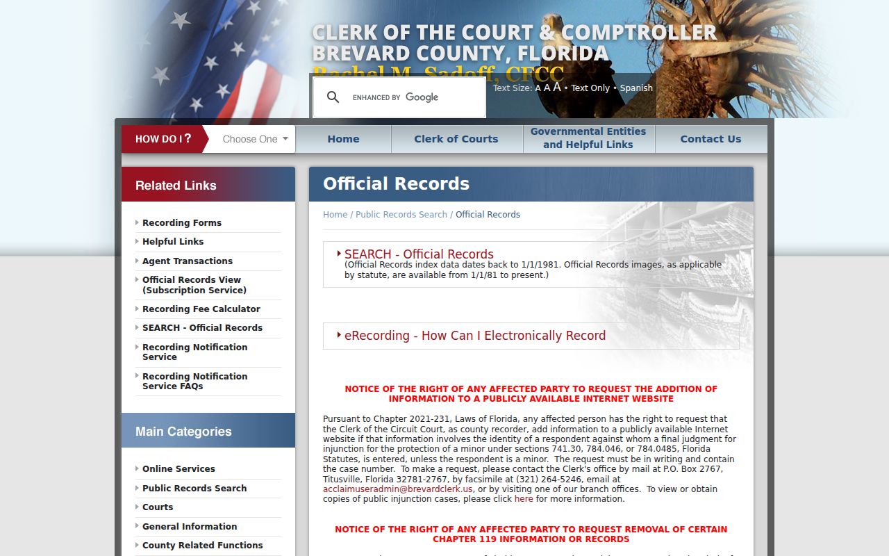
The screen marks where deed and lien work moves past the parcel card and into recorded instruments.
The Clerk also explains its free Recording Notification Service, which watches a registered name or legal description.
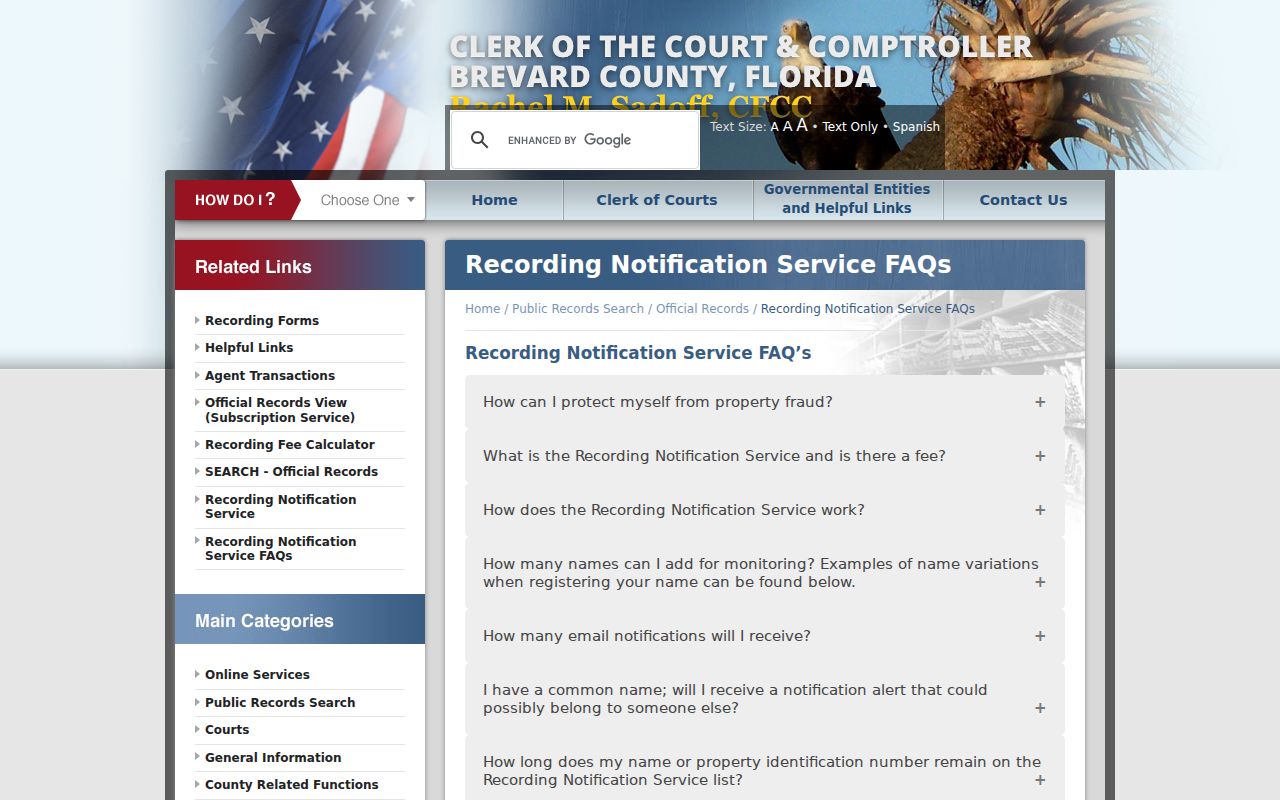
The alert can flag a later filing, but it neither blocks a recording nor replaces a deed review.
Brevard Street Permits By Jurisdiction
Postal city is not government jurisdiction in Brevard County. Sixteen municipalities keep local records, while county Planning and Development handles unincorporated addresses and Grant-Valkaria. First use GIS to identify the right custodian. Then search the correct building or code office by address, account, permit, contractor, or date.
County permit coverage runs from 1990 forward: a legacy search covers 1990 through 2002, and BASS or Accela covers 2003 forward. Results can show status, inspections, most attachments, completion records, work details, and dates. Code files may show a respondent, violation, compliance, or lien. These prove activity, not occupancy.
If the portal fails, contact the city building official or use the county public-records request channel. Ask for an existing permit card, address history, or code file with a date range.
The county building desk is at 2725 Judge Fran Jamieson Way in Viera and can be reached at 321-633-2187. County Code Enforcement accepts address, account, case, county license, contractor, and date searches. Its modes include Address, Record Information, and Contact. Leaving the start date blank can reveal more history. A Closed, Completed, or Void label means there is no active county violation in that dataset, not that the address has never had a case. For other active statuses, the research channel is code.enforcement@brevardfl.gov or 321-633-2086, option 3 and then 1; the office states a seven-to-ten-business-day response range.
Brevard Voters Along A Street
Florida makes many voter fields public, including name, residence, party, status, and voting history. History shows participation, never ballot choice. Social Security numbers, driver-license or state-ID numbers, and application sources stay private. Protected voters can have addresses suppressed.
The county status form is for personal registration checks, not browsing by street. A street project instead uses the Supervisor of Elections data request. Extracts can filter by precinct, district, city, status, date, and other fields, sort by ZIP, and group identical residences. Protected output is marked.
County data may come as an emailed comma-delimited file. The statewide monthly extract comes by disk and pickup, not online or email. Neither source includes unregistered people or a live count of everyone at an address.
Brevard City Directories By Address
Hill-Donnelly's entire-Brevard criss-cross telephone directories are the strongest old address-first shelf. Verified holdings cover 1969 through 1985, 1987 through 1989, 1991 through 1999, 2001, 2002, and 2004 through 2006. They search by phone or address, not name.
Read nearby house numbers, record the listed name and phone, then compare the next volume. Omitted years and unlisted homes are limits. Publisher runs and catalog headings belong to the Brevard County city directory collections, while the street directory uses this shelf only for address proof.
Note: A missing address may reflect an unlisted phone, a skipped edition, a changed number, or a move.
Brevard Streets Cross Place Names
Brevard's mainland, islands, lagoon shores, and beach towns create postal labels that do not match government lines. A Cocoa mailing address can sit outside Cocoa. Melbourne postal geography can reach a separate city or county land. E911 assigns unincorporated addresses, while cities use their own authorities.
Normalize the line with USPS ZIP Code Lookup, then use GIS for jurisdiction. Roads may appear under US-1 and Harbor City Boulevard or under state-route and local variants. The legal description is a stronger continuity key.
Eau Gallie and Melbourne consolidated in 1969. Search both place names in historical sources even if a household did not move.
Brevard Street Directory Boundaries
There is no public roll of every person in each Brevard County home. Property cards omit renters and most household members. Voter data omits nonvoters and suppresses protected records. Reverse volumes miss unlisted phones. Utility customer, delivery, motor-vehicle, club, congregation, and private association lists do not become open because an address is known.
Official indexes can hold stale or misspelled text. Compare two dated records before linking a name to land. Use a custodian request when an online index ends, and respect every protected address.
Lawful use. Brevard County address records support family research, land history, civic review, and scam checks. Never use them to stalk, harass, intimidate, or harm a person.
Commercial neighbor compilations may merge homes, lag behind moves, and miss opt-outs. The official street-by-street chain shows which office supplied each fact and where a correction can be requested.